Weekend Planner (Copyright KSAT-12 2026 - All Rights Reserved)
FORECAST HIGHLIGHTS
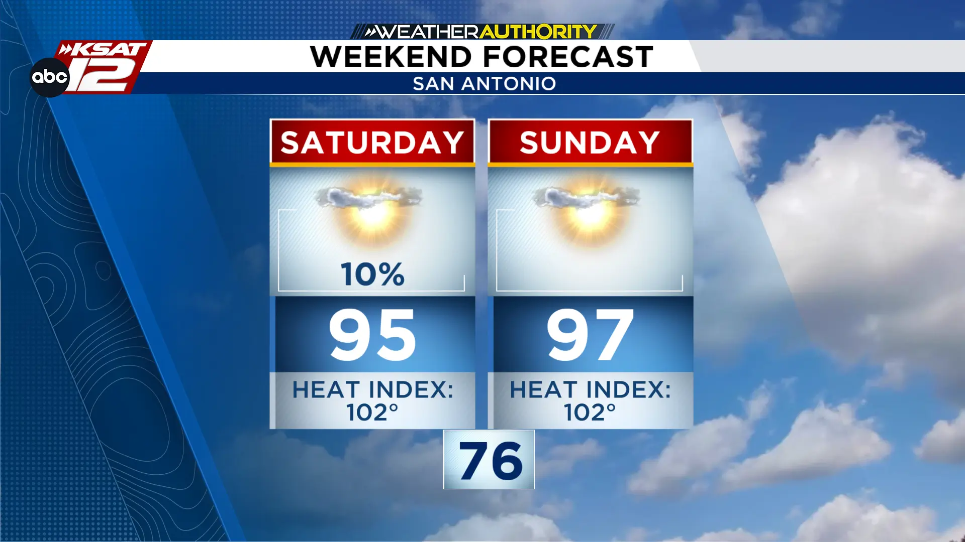
SUNDAY: Expect another hot day Sunday with highs in the mid-90s, plus a chance of storms
NEXT WEEK: Mostly dry with isolated rain chances around 20% in some areas.
TEMPREATURES: Summer heat is still sticking around!
FORECAST
RAIN CHANCES TRENDING UP
Rain will be limited next week, with only a 10-20% chance of isolated afternoon storms. Confidence remains low due to evolving weather patterns, but most areas will likely stay dry.
Rain chances for the start for the start of the week. (Copyright 2026 by KSAT - All rights reserved.)
TOMORROW
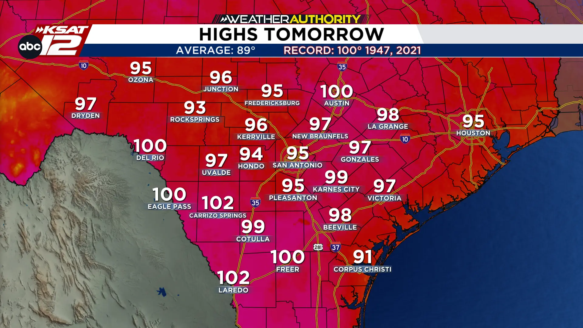
Sunday remains hot with highs in the mid-90s. A disturbance may bring isolated storms to the Hill Country and southern Edwards Plateau Sunday night; while severe weather risk is minimal, residents should monitor updates.
Sunday afternoon high temperatures. (Copyright 2026 by KSAT - All rights reserved.)
SWEAT-TEMBER CONTINUES
If you are hoping for a taste of fall, the forecast offers little relief. A ridge of high pressure will keep temperatures well above normal through late September, with afternoon highs climbing between 95° and 100° and heat indices frequently exceeding the century mark. With overnight lows remaining warm and no significant cold front on the horizon, summer-like conditions are set to persist into next week.
Extended Forecast. (Copyright 2026 by KSAT - All rights reserved.)
Shelby Ebertowski joined KSAT 12 News in January 2025. She came to San Antonio from Fargo, North Dakota via the University of North Dakota, where she learned the ropes as a weekend forecaster over two years at KVLY. Her love of weather love began after experiencing Hurricane Harvey in 2017.
Leah Rodriguez joined the Weather Authority Team in 2026 after watching KSAT 12 while growing up in Pearsall. She graduated with a Bachelor's Degree in Meteorology from Texas A&M University and worked in Lubbock for two years.
When she's not watching the radar, Leah enjoys spending time with her family and her dog Luby.