
WATCH LIVE RADAR IN VIDEO PLAYER ABOVE
FORECAST HIGHLIGHTS
- TODAY & TOMORROW: Spotty downpours
- WARM & LABOR DAY WEEKEND: Temps in the upper-90s, generally rain-free
- HAVE WE SEEN OUR LAST 100° DAY?: It’s possible. No 100s in the extended forecast
FORECAST
SPOTTY SHOWER THURSDAY AND FRIDAY
We are starting to see a few pop-up downpours on the radar. These are widely separated from each other, but if you get some rain, there could be some lightning and brief, heavy rain. If driving tonight, be aware of your surroundings.
After sunset, any rain will dissipate.
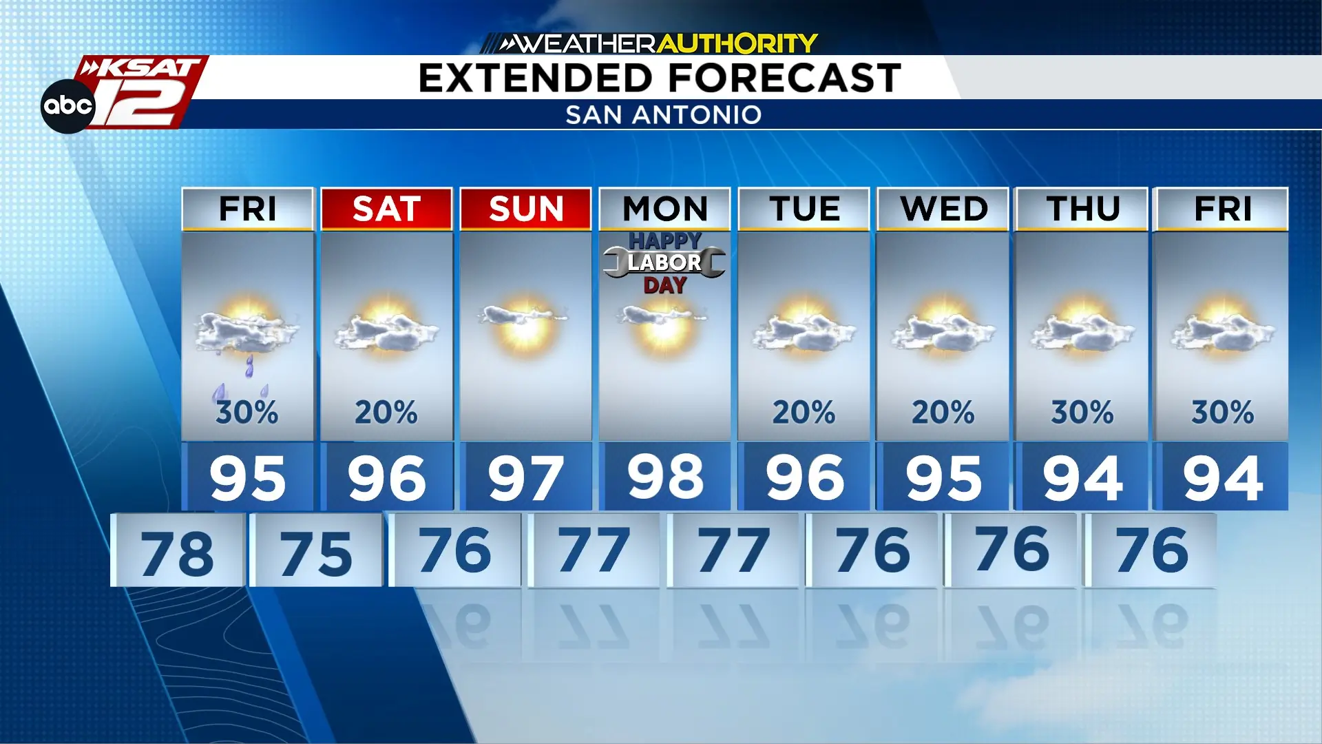
Expect another round of isolated (20-30%) showers on Friday.
HOT & DRY LABOR DAY WEEKEND
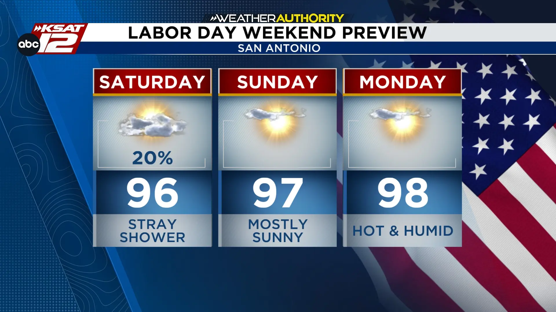
There will still be enough moisture around Saturday to bring a low-end rain chance. However, it shouldn’t spoil any outdoor plans.
Sunday and Monday are looking to be dry and hot with high temperatures in the upper 90s, while heat index values could surpass 100°. Area rivers are flowing nicely, if a float is in your plans.
ARE WE DONE WITH TRIPLE DIGITS?
We did manage to hit 100° Wednesday — our 17th triple-digit day of the year. It’ll be a close call Thursday, but beyond that, triple digits look to stay out of the extended forecast.
Does that mean we are done with 100s for the year? It’s possible. As we move into mid-September, it’ll be harder and harder for us to get to that mark. Our latest 100° day in San Antonio is Sept. 28th.

KSAT meteorologists keep you on top of the ever-changing South Texas weather.
QUICK WEATHER LINKS
- Download FREE KSAT Weather Authority App: Up-to-date forecast information and livestreams from trusted local meteorologists.
- KSAT Connect: Share your weather photos.

